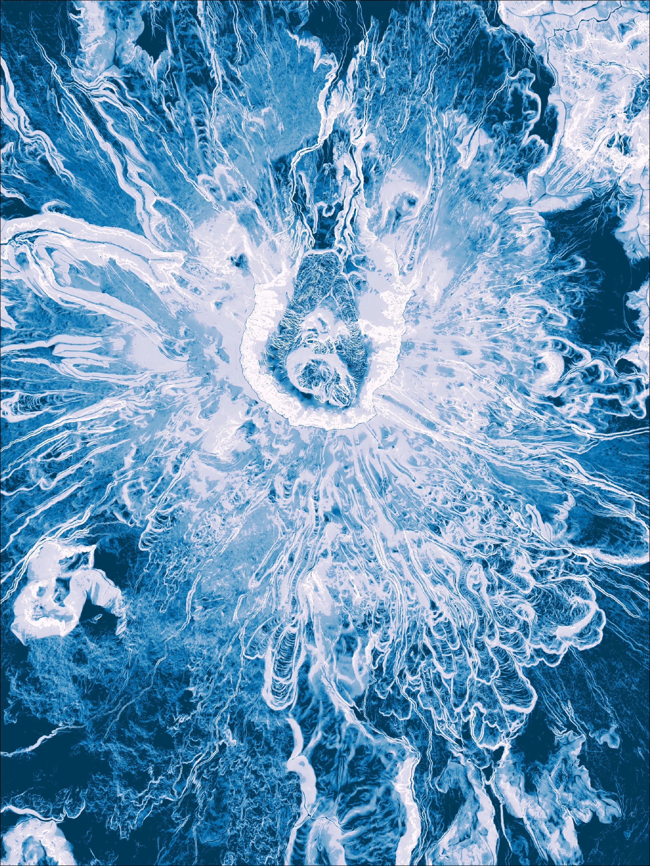
COLORFUL VOLCANOES
-
The scale and grandeur of the volcanoes in the Cascade Range have inspired both my art and some of my most character-building adventures to date. This series takes a bird's eye view of the peaks, often illuminating the summit crater from above.


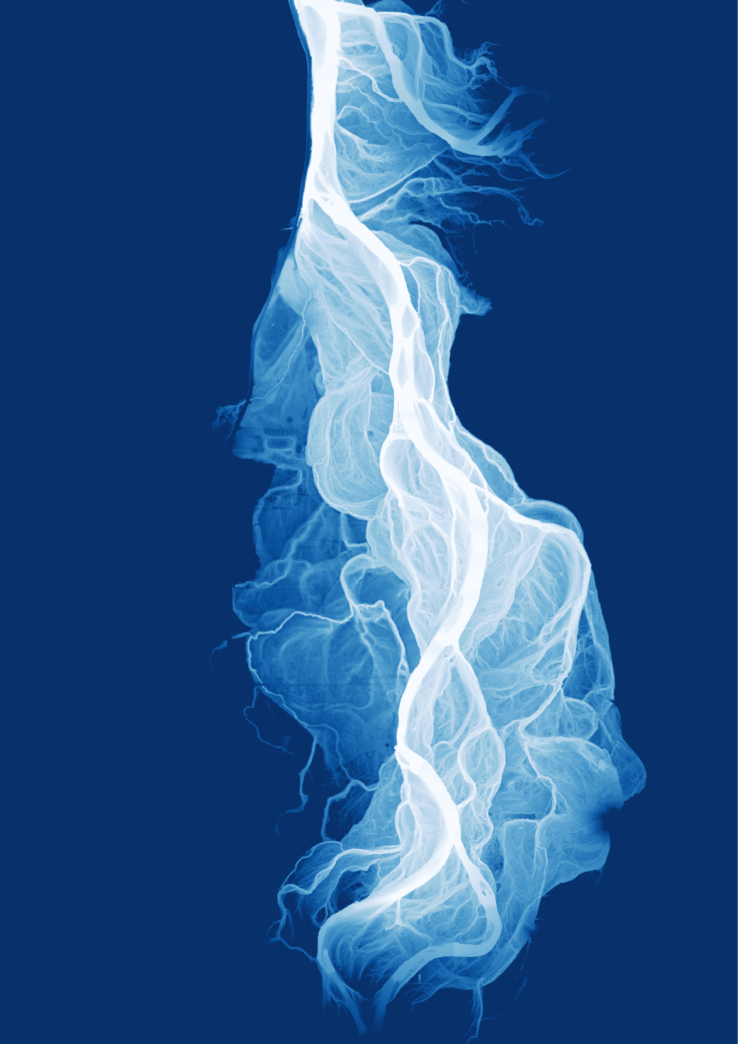
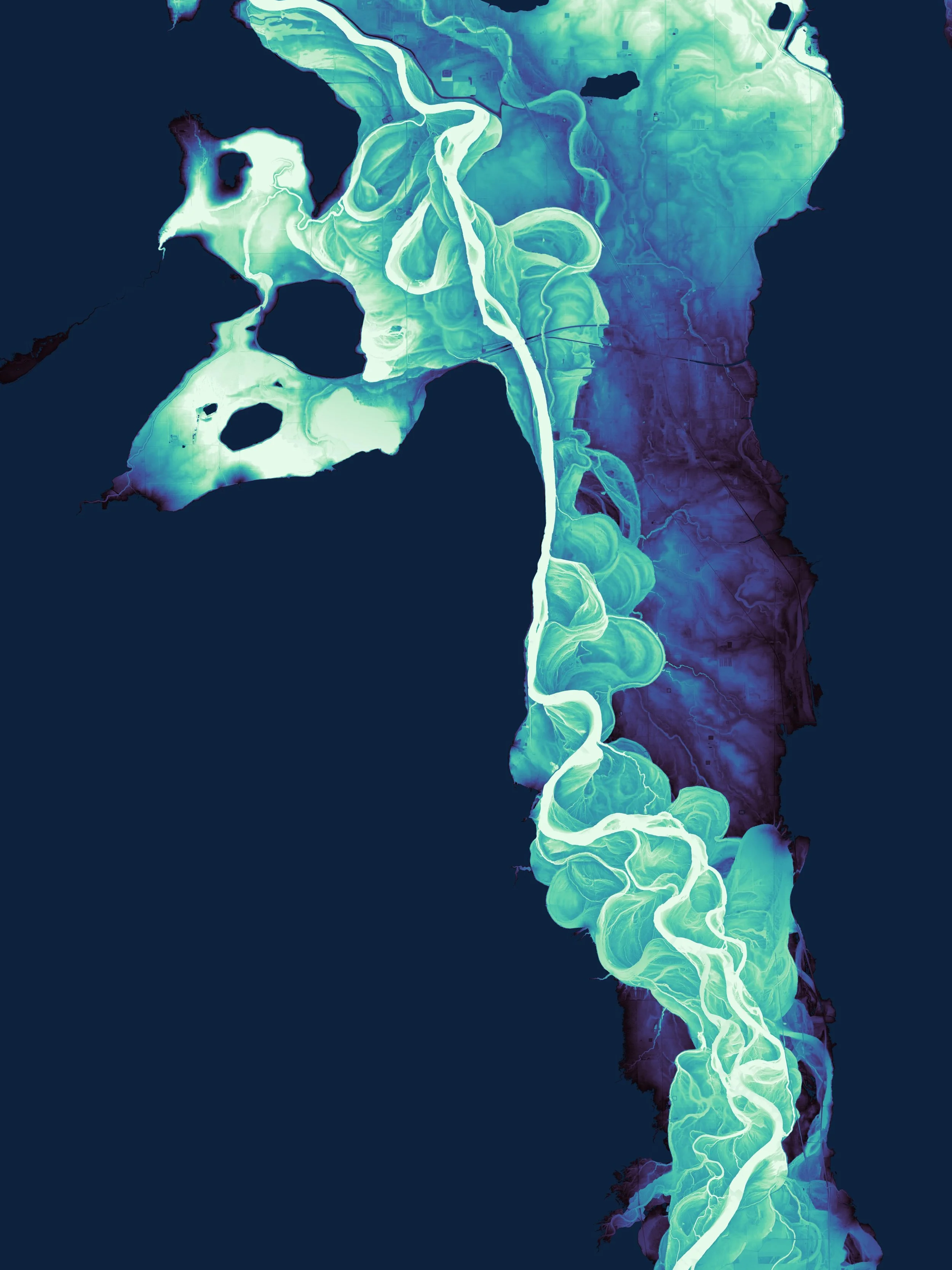
WINDING RIVERS
-
These maps are inspired by a few of the rivers I have visited, paddled, camped by, and explored over the past decade. These depictions explore the rivers' winding histories, including old river channels and floodplains no longer obvious to the naked eye.
The map style is inspired by Daniel Coe's lidar maps. I have been enchanted with his "rivers revealed" work, and I learned to create my own lidar-derived river maps from his tutorials.
I am happy to share that my Sauk River map below was chosen for display at the 2024 Esri User Conference on their #PoweredbyEsri wall.


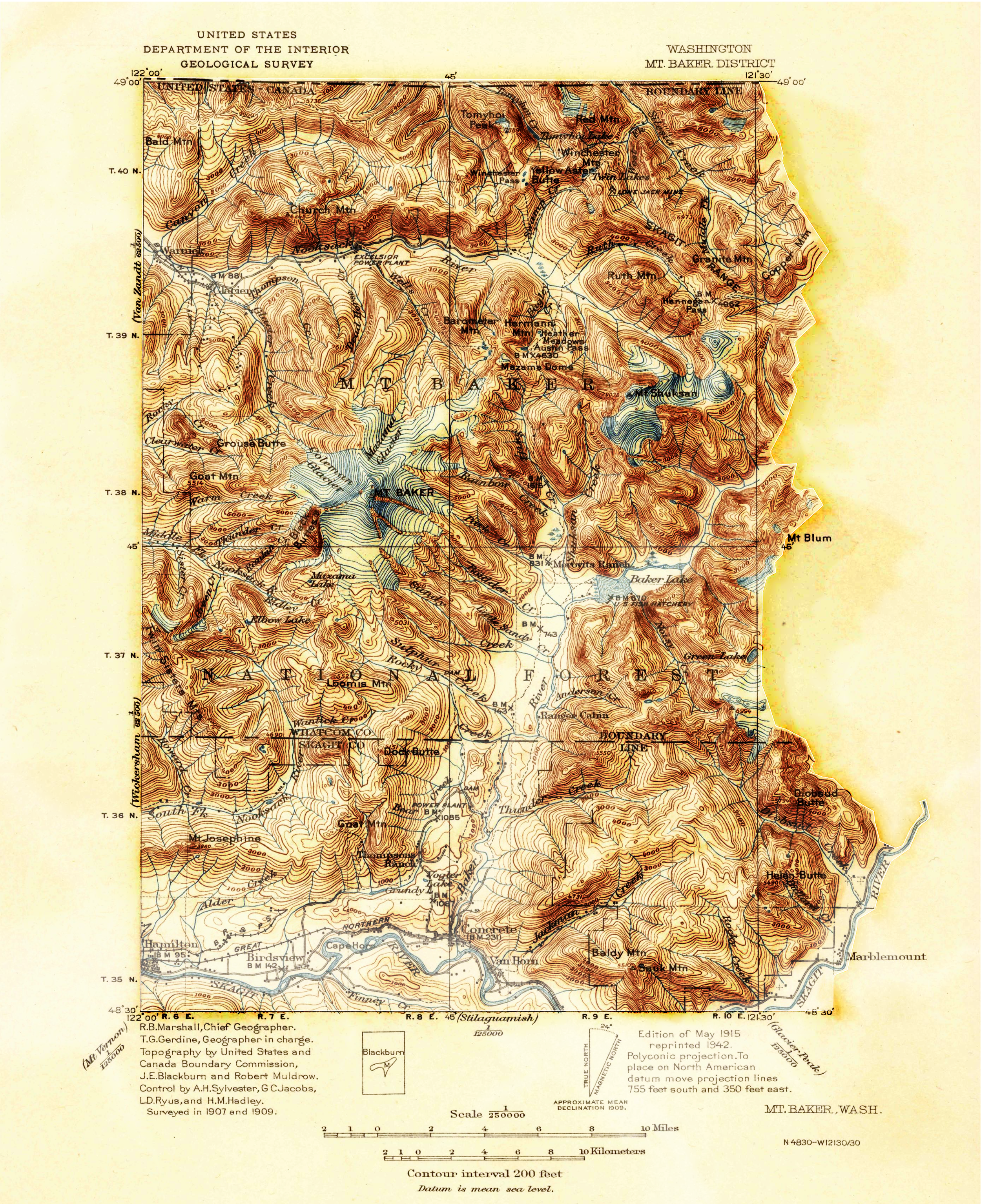
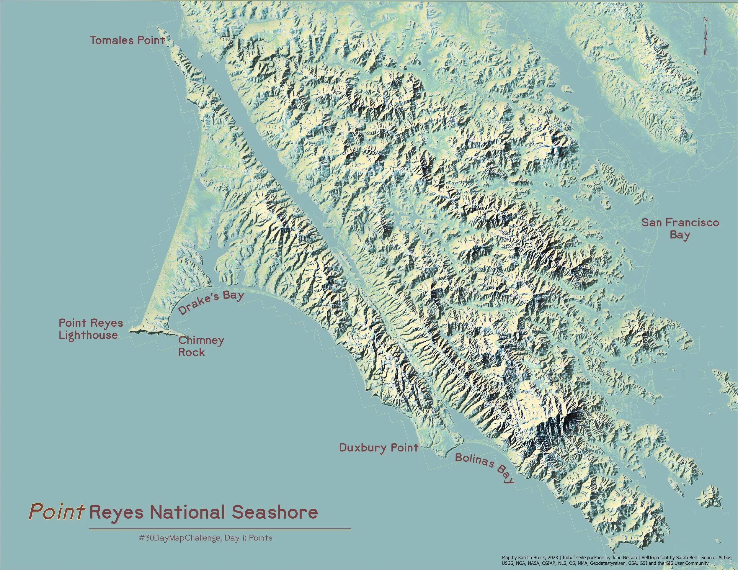
3D HISTORICAL TOPOS
-
From the coastal mountains on the Pacific, to the high alpine of the Eastern Sierra, this series started as an homage to my home California. The workflow, derived from a John Nelson tutorial, combines elevation data with historical USGS topo maps to create re-energized, 3D visualizations.